What to remember
- Shirogane Onsen and the Shirogane Blue Pond sit in the Biei River valley, in the hills between Furano and the Daisetsuzan range, south of Asahikawa.
- Suspended aluminium colloids in the water scatter light, which is what gives the pond its turquoise hue.[1]
- Mount Tokachi stands at 2,077 meters and rises above the rivers that run down toward Biei and Furano.[2]
- Furano is about a two hour drive from Sapporo using the Doo Expressway between Sapporo and Mikasa.[3]
- The Colored Hokkaido tour runs for 1 day and stops at Patchwork Road, Shirogane Blue Pond, Shikisai No Oka, a local restaurant and Farm Tomita.[4]
- Top choice Colored Hokkaido Day Tour from US$48 Rating4.56 from 122 reviews[4]Duration1 day[4]Free cancellationup to 24 hours in advance[4]Arriving2 starting location options[4] Check availability
- Biei Furano Flower Sea from US$43 Rating4.76 from 51 reviews[5]Duration10 hours[5]Free cancellationup to 24 hours in advance[5]ArrivingPickup available[5] See this tour
- Noboribetsu & Lake Toya from US$47 Rating4.30 from 323 reviews[6]Duration10 hours[6]Free cancellationup to 24 hours in advance[6]ArrivingPickup included[6] See this tour
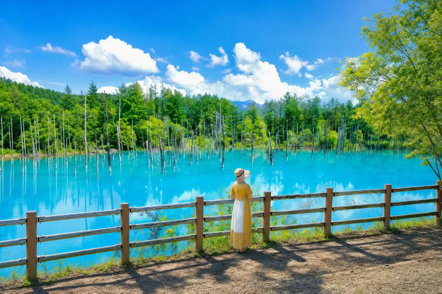
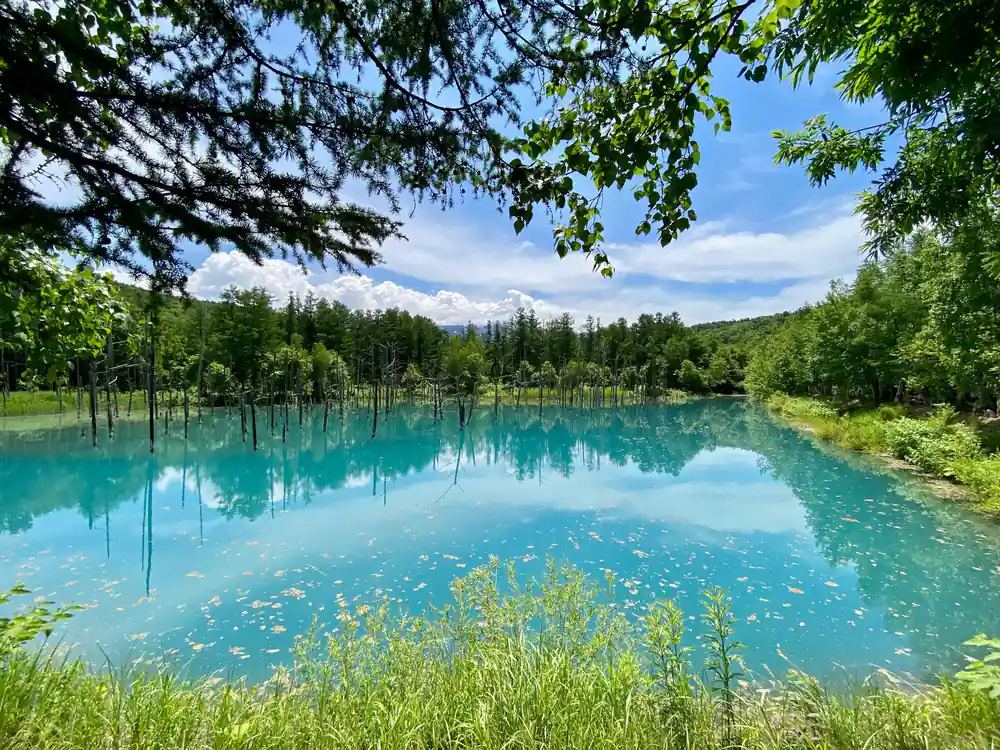
The December 1988 eruption sent volcanic mudflows down the Biei River, forcing emergency erosion-control dams whose backed-up water became the pond. Aluminium colloids suspended in the water scatter light, producing the distinctive turquoise hue seen in Shirogane Blue Pond.
Worth it? The volcano, the pond and the springs
Pre-booking checklist
- Check the season first, since the flower fields change right through the summer
- Reserve summer dates ahead if you want the Furano and Biei day trip
- A coach day trip from Sapporo saves the drive and the parking
- Read official volcano information before heading up the valley
On the day
- Soak in the hot spring baths after a day on the road
- Pack a light rain layer and a warm top for the valley and the falls
- Use the marked paths and viewing platforms at the pond and the falls
- Keep small change for farm shops and roadside stops
Mount Tokachi: The Volcano Behind the Blue Pond
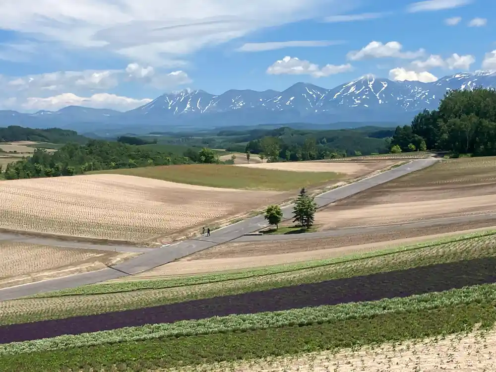
Mount Tokachi rises to 2,077 meters in the Daisetsuzan range, the high country that feeds the rivers running down toward Biei and Furano.[2] From the flower hills it shows as a broad grey-green shoulder above the treeline, with snow often lingering in its gullies long after the valley floors have greened up. Drivers heading south from Asahikawa watch it grow on the horizon, and it stays with you for the rest of the day, changing colour as cloud crosses it. In the evening the last light catches the upper slopes while the fields below have already gone dull.
The mountain matters to this landscape in a very direct way. Rock, water and weather coming off its slopes shape the rivers and the fields below, and the valley you drive through on the way to the pond is part of that same system. The peak on the skyline invites a question or two on the drive, and the useful answer is that it sits above the farmland rather than beside it, so the shape of the whole basin makes more sense once you have looked at the mountain. Binoculars are worth packing, because from the higher viewpoints you can pick out snow patches, bare gullies and darker volcanic stone that only shows where the trees give up.
How the Mudflow Built Shirogane Dam and the Pond
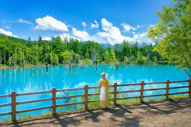
The Shirogane Blue Pond was created when emergency erosion-control dams backed up water after the December 1988 eruption of Mount Tokachi.[1] Volcanic mudflows came down the Biei River, the dams held the water back, and a small basin among the larch and birch filled. What looks like a wholly natural lake is, in origin, a piece of engineering that the forest has quietly grown around. There is no visitor centre telling the story and no plaque with diagrams, just the water, the trees and the steep bank above it.
Standing at the railing it is hard to picture any of that. The pond is still, with pale trunks standing in the water and reeds at the edges, and the banks rise steeply on the far side. Knowing the sequence changes how the place reads: the bare trees, the flat surface and the shape of the valley all belong to the same story of a river interrupted and then settling into a new form. It also explains why the pond feels young. The forest has had only a few decades to close in around it, and you can still see it doing so along the shore.
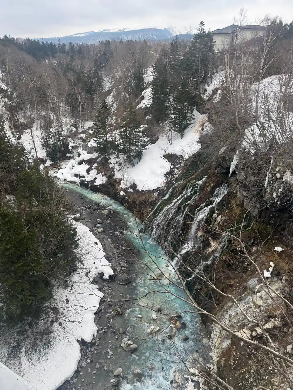
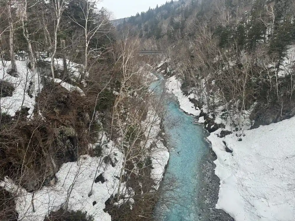
Mist over the Shirogane valley, where the river runs below the falls and the forest closes in.
Shirogane Onsen: Hotel Hot Springs in the Forest
A little way up the valley from the pond, Shirogane Onsen is a small cluster of lodgings tucked into the trees, with hotel hot springs steaming beside the river and very little to do after dark other than soak and sleep. Steam drifts off the outdoor baths in the cold air, and the sound of running water is the background to everything. In winter the snow piles on the rocks around the pools and hangs off the trees above them. In summer the valley stays cool while the fields further down are warm, which makes the village a comfortable base for a night or two.
Furano is about a two hour drive from Sapporo using the Doo Expressway between Sapporo and Mikasa,[3] so this valley works both as a day trip and as an overnight stop. If you would rather not drive, the Colored Hokkaido tour from Sapporo stops at Shirogane Blue Pond as part of its day, along with Patchwork Road, Shikisai No Oka, a local restaurant and Farm Tomita.[4] Staying the night simply buys you the quiet hours at the water, before the coaches arrive and after they have gone, plus a bath before bed and another one in the morning.
Shirahige Falls and the Water from the Rock Face
Shirahige Waterfall is fed by groundwater seeping from the rock face, which plunges about 30 metres to the river below.[7] It drops over a wide, broken lip rather than in a single rope of water, so from the bridge it reads as a pale curtain spread across dark stone, with spray drifting over the railings and beading on jackets. The viewing area is small and close to the road, which makes the falls an easy companion to the pond on the same morning, and a natural second stop on the way up or down the valley.
The colour here is as much of a draw as the drop. The fall comes from groundwater rather than from one surface stream, and its look changes with the weather and the season, pale and milky against the deeper tone of the pool beneath the bridge. Cold mist and wet boards make this a place to stand for a few minutes rather than rush a photograph. Bring a jacket even in midsummer, because the spray and the shade of the valley keep the air noticeably cooler than the flower fields further down.
2,077 m
Mount Tokachi's height. Its December 1988 eruption came before the dams that backed up water to form the Blue Pond.[1][2]
Aluminium Colloids: Where the Blue Comes From
The pond appears blue because suspended aluminium colloids in the water scatter light, producing the distinctive turquoise hue seen at Shirogane.[1] The effect changes with the sky and the hour: deeper and greyer under cloud, brighter and almost milky when the sun breaks through, and different again from the upper viewpoint. Nothing about the colour is fixed, which is why three visits on three different days can give you three different blues, and why photographs taken minutes apart rarely match.
Because the colour depends on light rather than on anything in the bank or the bed, no two visits look quite the same. Photographers tend to walk the length of the railing and then climb to the higher platform for the wider frame, which takes in the whole basin and the standing trees inside it. Early morning, before the wind picks up, is when the surface behaves most like a mirror. Snow on the banks, autumn colour in the birches and fresh green in the growing season each change how the blue sits against its surroundings, so the pond deserves more than a quick stop.
Peaks and Patchwork: What You See from the Flower Hills
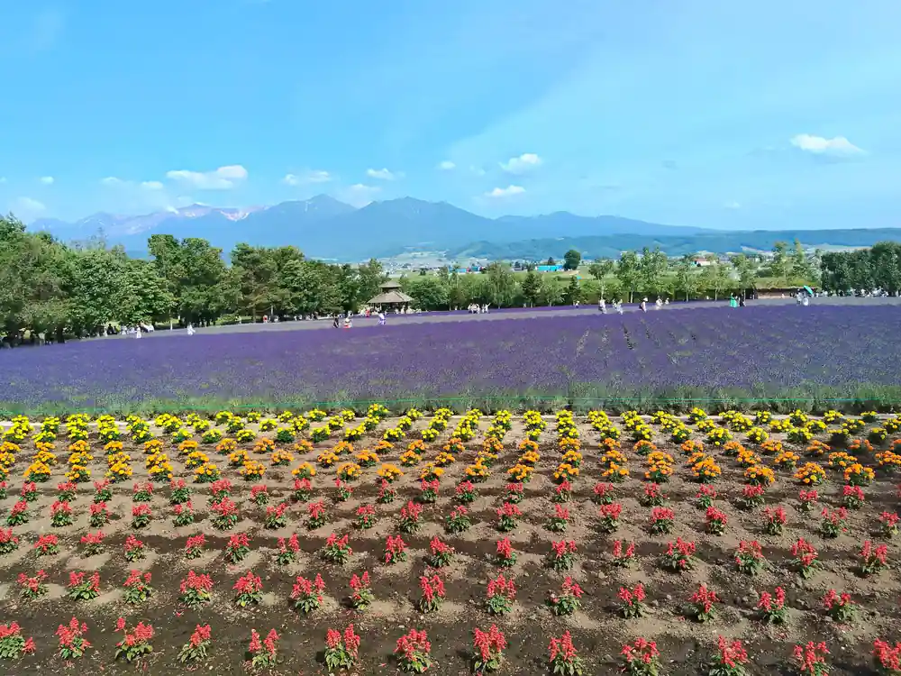
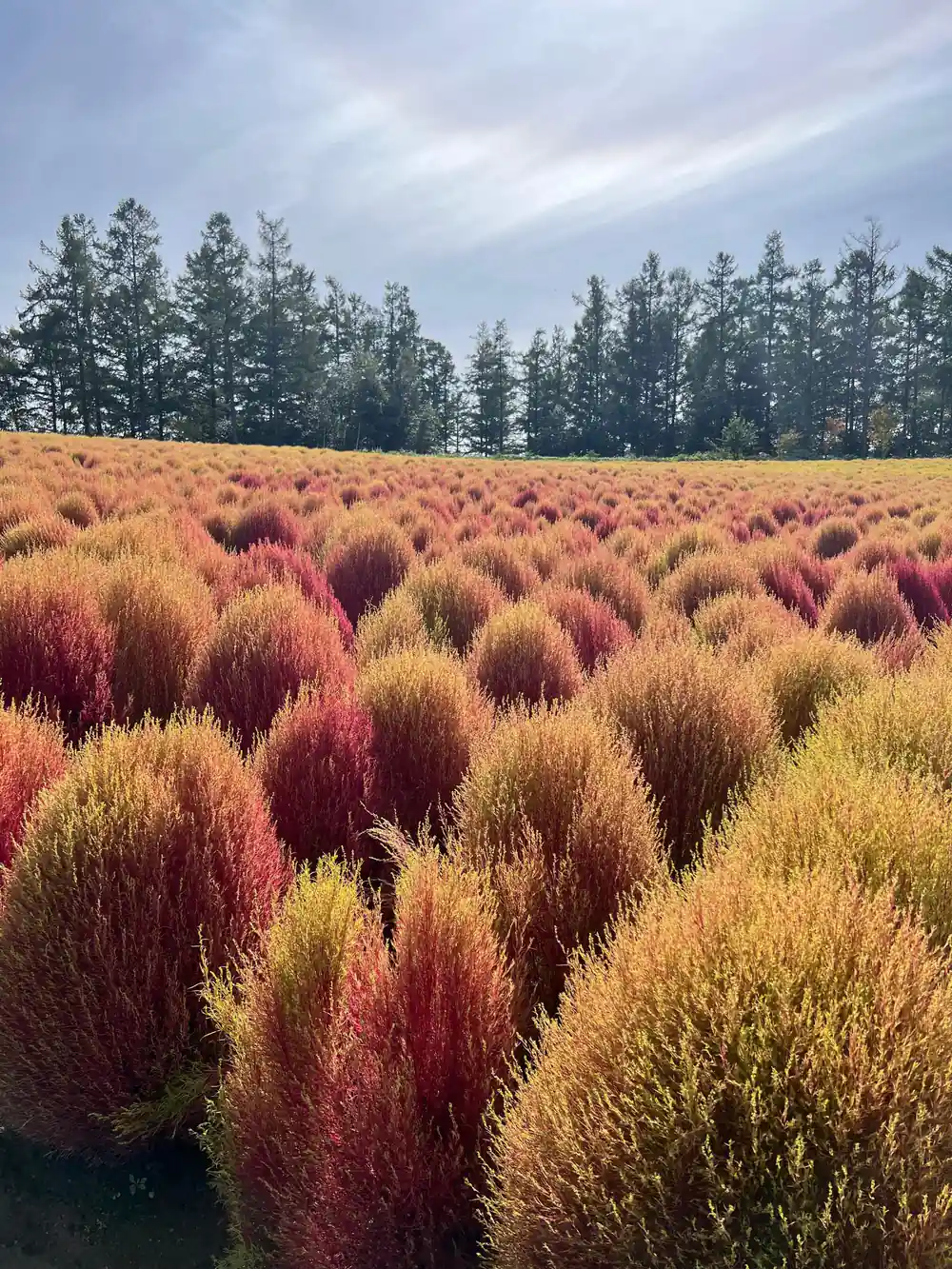
The country around the Seven Stars Tree in Biei is known as Patchwork Road, where different crops are planted in each plot.[8] The result is a hillside sewn together from golden wheat, purple potato flowers, green bean fields and brown plowed earth, with farmhouses and barns as punctuation.[9] Look up from the fields and the volcanic ridge that shapes this valley sits on the skyline, often with cloud caught along it. The colours move through the summer as crops ripen and are cut, so the view is never the same two weeks running.
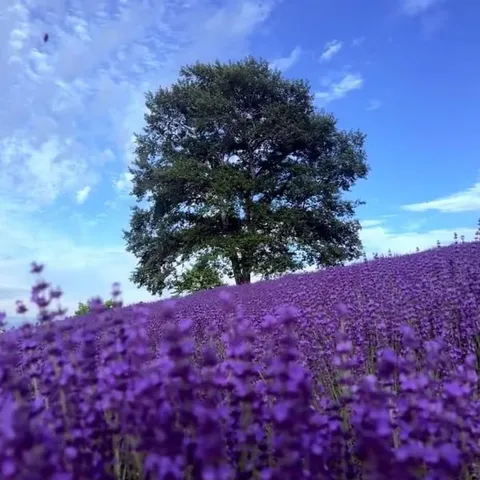
Shikisai-no-oka is a panoramic flower garden in Biei that covers fifteen hectares of land,[10] while Farm Tomita, at 29 hectares after doubling in size in 2008 with the addition of Lavender East, welcomes over a million tourists annually.[11] Lavender starts blooming from late June to mid-August[12] and has been cultivated in Hokkaido since the 1940s.[13] July in Furano averages 22.1°C,[14] warm enough for shirtsleeves and cool enough to keep walking between viewpoints. Furano's population is approximately 26,000, including the incorporated communities in the outskirts,[15] which is worth remembering when the car parks fill: this is working farmland first and a flower destination second.
Monitoring, Alerts and Planning Your Visit
Because Mount Tokachi erupted in December 1988,[1] this is a valley where it pays to check the official picture before you drive up. Local information boards, hotel staff and the national weather and earthquake services carry current advisories, and closure signs on the higher trails are there for a reason. Build your day so that the pond, the falls and the flower fields still work if the summit area is off limits, and keep an eye on the sky, since cloud on the peaks is far more likely to change your plans than anything else.
For a first visit, the simplest plan is a coach day out. The Colored Hokkaido: Furano Flower and Biei Blue Pond tour from Sapporo runs for 1 day, with live guiding in English, Chinese, Japanese and Korean, free cancellation up to 24 hours in advance, and reserve now and pay later, from US$48.[4] If you would rather stay overnight, the wood cabin shops of Ningle Terrace sit in the green forest of Furano and are lit up after sunset,[16] which pairs well with a late soak at your hotel. Either way, the water, the fields and the peak fill a long, generous day.
Reviews for the day tours compared here
Review counts taken from the GetYourGuide listings[4][5][6].
From prices for Hokkaido day tours out of Sapporo
From prices in US dollars from the GetYourGuide listings[4][5][6].
When to plan a Shirogane and Biei visit
Planning the valley visit
Check the mountain
Look up current volcano information and any trail or road closures before you commit to the high ground near the crater.
Pick day trip or overnight
A coach tour fits the pond, the falls and the flower farms into one day; a night in Shirogane adds early water and an evening bath.
Pack for cool, wet air
Layers, a light rain shell and shoes with grip work better than sandals, since the valley and the falls stay cool and damp.
Time the flowers
Aim for the lavender window if the fields matter most, and check what is blooming before you build the day around a single farm.
Leave slack in the plan
Mountain weather changes quickly and cloud can hide the peaks; the pond, the falls and the woods still fill a good day.
See the Blue Pond and the volcano country on a guided day from Sapporo
from US$48Reserve now & pay later